video from pexels url:https://videos.pexels.com/video-files/1851190/1851190-uhd_2560_1440_25fps.mp4
MakingEarth ObservationSimple
From raw satellite data to clear decisions, in minutes
Ask Questions. Get insights
From raw satellite data to clear decisions, in minutes
Yugen
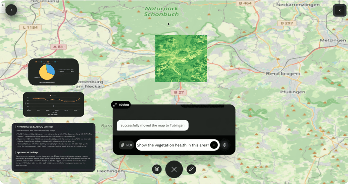
Yugen makes analyzing satellite images as simple as a Google search.
Complex processing made easy.
We do the complex satellite data processing so you don't have to.
Valuable Insights in Minutes
Type your question and unlock valuable insights in minutes
— 10x faster and easier than traditional methods.

About Us
Yugen Space
We’re building intelligent satellite systems that make Earth observation radically simple and accessible, empowering every individual on the planet with space-driven insights.
Making Earth Observation Simple.

TRUSTED BY INDUSTRY LEADERS
Collaborating with top-tier organisations to redefine industry standards
CONTACT US
Get in touch to schedule a demo or learn more about our solutions
contact us
Send us a message and we will get back to you as soon as possible!
Contact Information
Email:
anand@yugenspace.comHeadquarters:
Tübingen, Germany


